
Last week I explored a section of the Green River Gorge above the Green River Gorge Resort with my husband and two dogs. It took us six hours from the time we left the resort parking until we hiked back up the stairs below the gorge bridge.


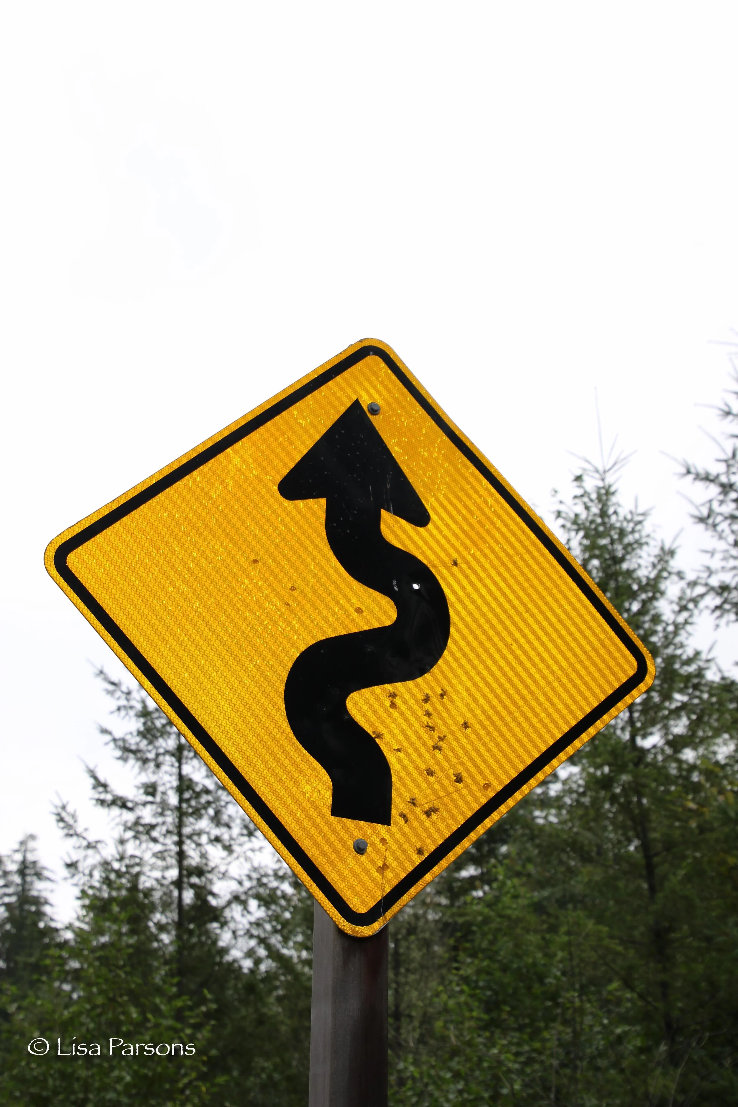


Luckily this section is a loop starting at the resort. Getting to our starting point on the river is a bit interesting. Approximately thirteen years ago a developer bought 4 sections of land from Plum Creek Timber. Those 4 sections of land are like four sides of a box and essentially lie between Washington State Parks land and Department of Natural Resources land. So in order to get to the river at the Jellum section of the State Park you have to walk along a chain link fence and through a gate at an old logging road. You have to cross this private ownership to get to the public land. It is convoluted and is a good example of the challenges of accessing public land in this area.
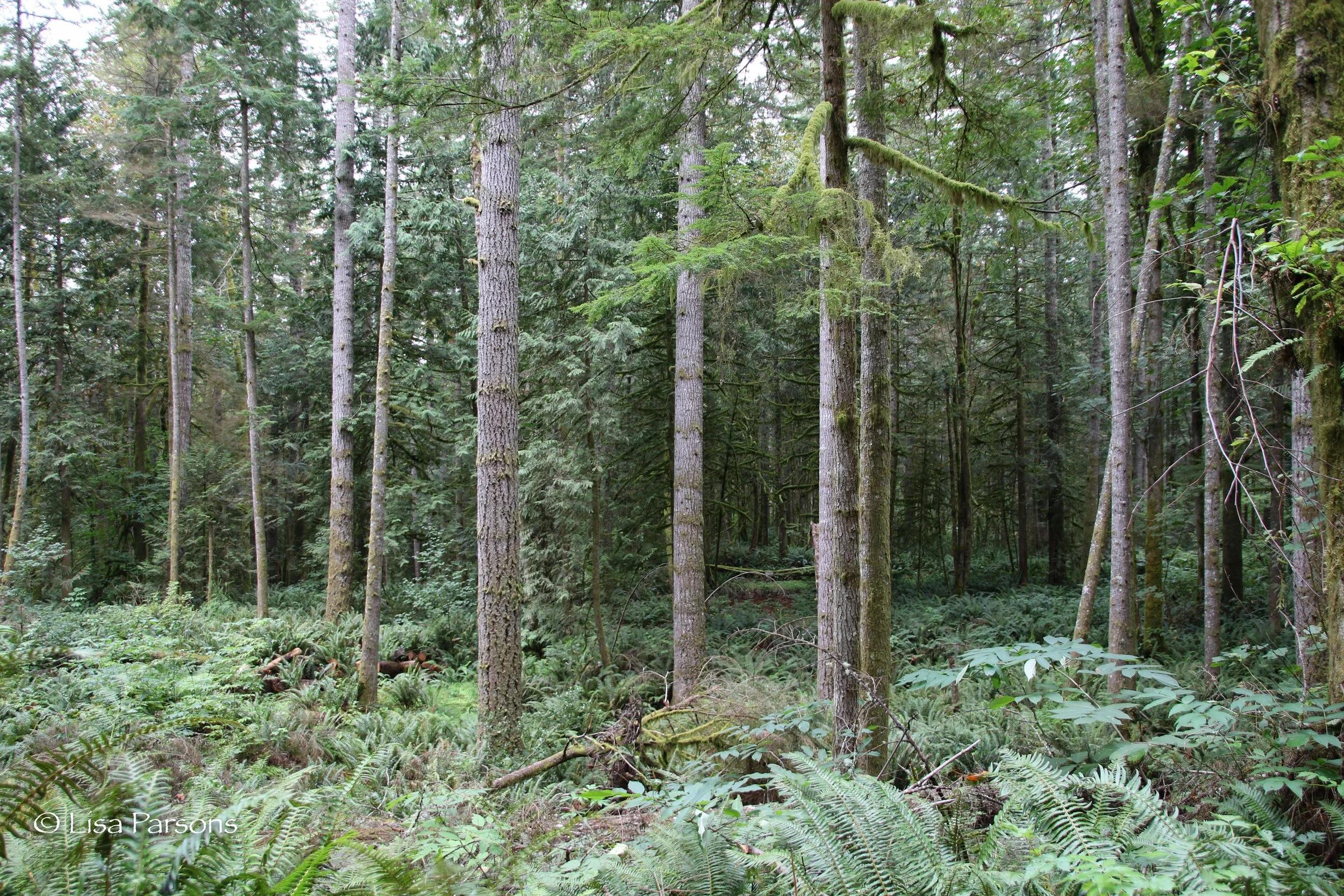
We hiked the logging road through an old clearcut before entering mature dense forest which signals the land ownership change from private to state parks public land. Cedars, firs, and hemlock tower overhead as the road slopes toward the river. The road ends at a circular clearing. At one point state parks was considering putting another campground in this area but until the private ownership is resolved that seems unlikely.
From the clearing it is a short hike down a fisherman's trail down to the river at a bend in the landscape. The peninsula of land is shaped ike a finger reaching towards the northeast. Immediately we started boulder hopping and walking along an edge of sandstone down stream. This hike can only be done safely at extremely low water when there is more exposed shoreline and weak current. We always check the U.S.G.S gage before setting off on our expeditions.
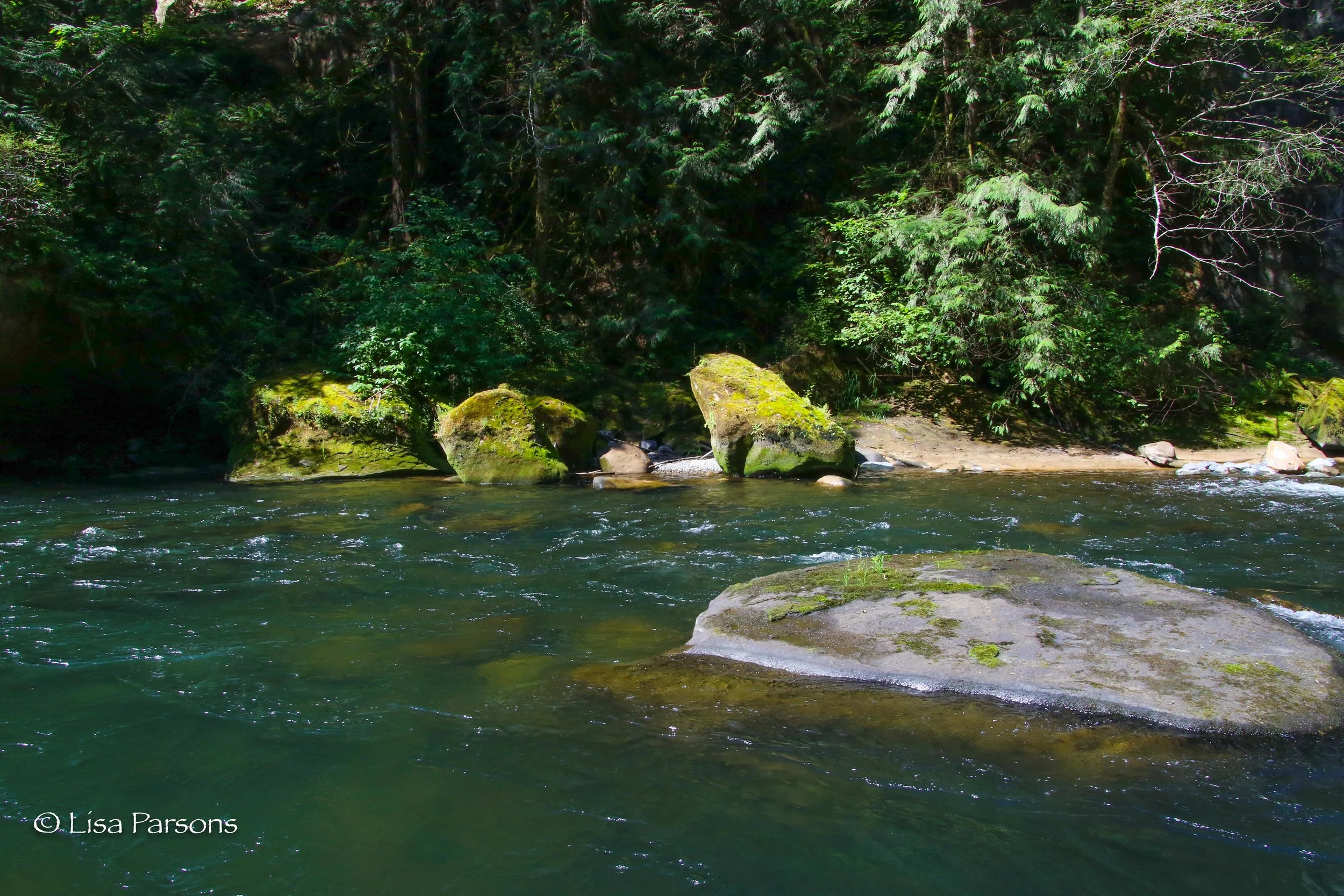
Every bend in the river revealed new treasures. Giant boulders forming caves. A giant rock with a forest growing out of the top and the giant roots draping down over the rock and reaching into the ground below. Next to it was a outward sloping sandstone cliff. Below was an old wooden pontoon raft cabled to the rock wall. Now beached at low water. Springs and seeps emerged from in between rocks and through grassy knolls. There is otter poop everywhere along the shoreline. It seems the entire gorge is an otter latrine. It appeared this remote section of the river is a rich habitat for wildlife.
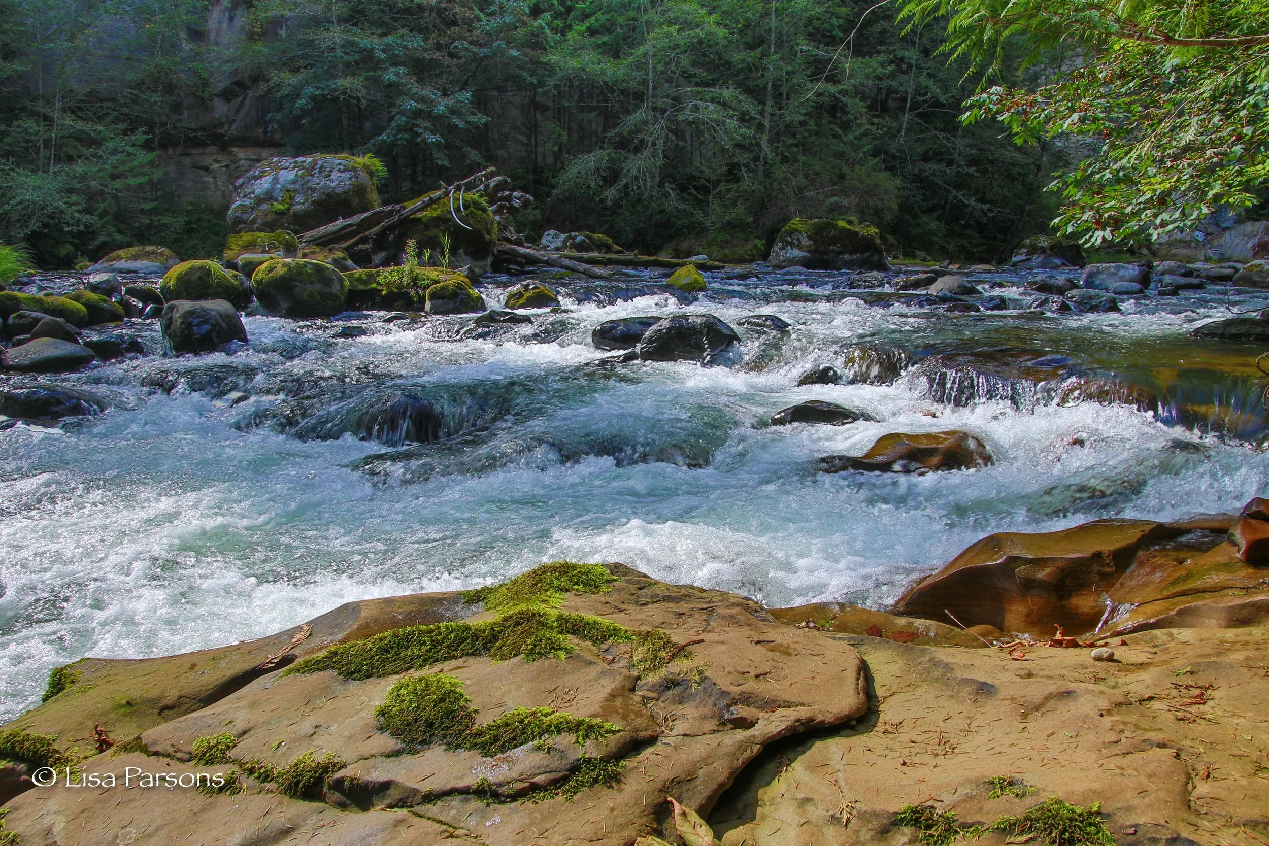
As the river narrowed again tall white and brown sandstone cliffs pushed up into the sky. Forests still cover the rim. Maiden hair ferns cling to the base of the cliffs in hanging gardens. The deep green of the water turns white where boulders, ledge sandstone, and gradient create whitewater channels.
The lower we descended, the taller the cliffs. Wider ledges of exposed sandstone created walkways along the shoreline and islands within the river channel. Near the resort an island split the river in to. A wider shallow channel to the right and a narrower channel of main current slid along a sandstone wall falling over a boulder filled slope. Most of the current curved left and slammed into an undercut of orange sandstone. The island tapered into the boulders. We hopped on sandstone steps lifted above the current. Then back tracked as we saw where the current was pushing the water. We traversed out into the river stepping carefully through the submerged boulders. David crossed to the island.
I watched as Taz started swimming down the current to the right of the boulder and decided to follow. A bumpy ride as the rocks were barely submerged. I arrived in the slack current and found a submerged sandstone boulder where I perched myself and waited for David and Koshka to follow.
This was the longest swim on my expedition down the gorge. A planned one. I had always wanted to hike the thin edge along the south wall and swim to the waterfall. A great way to end another successful adventure. We exited the current downstream of the waterfall and ended our day below the cold spray of Paradise Falls.
After today I only have one section left to log. I’ll be hiking from below the highway 169 bridge to Flaming Geyser State Park at the end of the twelve mile long gorge.
Update. I have since completed the last section to complete my goal of hiking the entire Green River Gorge from Kanaskat to Flaming Geyser. I’ll post my last expedition soon.